
Aerial Photogrammetry Survey & Geo-Tagged Video Mapping — Yamuna & Sahibi Rivers
Client: NMCG, Ministry of Jal Shakti, Govt. of India · Yamuna & Sahibi River Corridor · 65 sq. km · 2026 · River Monitoring | Drone Mapping | Geospatial Data Acquisition
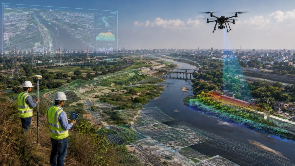
High-resolution aerial photogrammetry and geo-tagged video mapping along the Yamuna and Sahibi river corridors using DGCA-approved drones and DGPS-based Ground Control Points, generating accurate geospatial datasets for river monitoring, environmental assessment, infrastructure mapping and rejuvenation planning.
High-resolution aerial photogrammetry and geo-tagged video mapping along the Yamuna and Sahibi river corridors using DGCA-approved drones and DGPS-based Ground Control Points, generating accurate geospatial datasets for river monitoring, environmental assessment, infrastructure mapping and rejuvenation planning.
Scope of Work
- Drone photogrammetry survey — nadir and oblique image acquisition
- Geo-tagged HD video documentation of river stretches
- DGPS GCP survey for positional accuracy
- Geospatial processing — orthomosaic, DSM, DEM, 3D point cloud
- GIS visualization for monitoring and decision support
Technology & Accuracy: DGCA-approved drones + DGPS Ground Control Points. Accuracy: ±2–5 cm horizontal.
Key Deliverables
- Orthorectified imagery
- Digital Surface Model & Digital Elevation Model
- 3D point cloud dataset
- Geo-tagged HD video footage
- DGPS GCP database
- GIS visualization platform
- Final technical report
Outcome: Enabled accurate monitoring of river conditions, infrastructure, encroachments and environmental change, supporting data-driven river management and rejuvenation.
Client Feedback: Accepted and satisfied.
Ready to Take Flight?
Experience the precision and power of Naksha Tech drones. Request a demo or get a custom quote for your project.
Please get in touch with us. We are happy to help you.
Website
www.nakshatech.com
Sales & Marketing Desk
HR & Recruitment
Address
#73/1A, R.K. Chambers, 5th Main,
Chamarajpet, Bangalore – 560018, India